I’ve long known there was a fence between the house and the east branch of Naneum Creek. About 1/4 of this 20-acre parcel is on the other side of the creek.
I’ve cleared the brush to the remains of a rock crib but not enough to see the creek or beyond it. That’s a goal. The left image below shows an aerial view. The fence did not follow the property line. It is on the east side of the creek that comes onto the property from the north and takes a southeast bend after getting past the house.
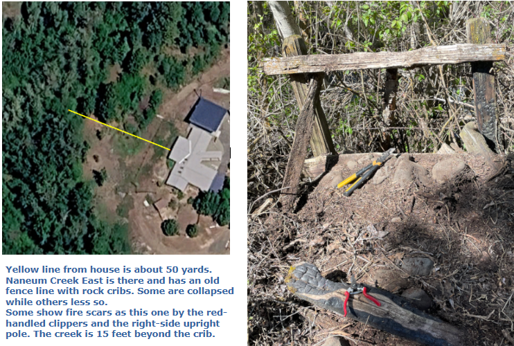
There was another rock crib along the north property line and 120 yards from this one. It too was burned and I have carted the remains away, although the barbed wire is still along that line, attached to other posts. I suspect others but there is too much brush for easy inspection.
I want to find when the fire occurred and how widespread it was.
Having seen these burn scars and having seen fires within a few miles of the house, and knowing of all the fuel on my and adjacent properties – – I think a serious fire is possible but of low probability. Fire response is much better now than when the last fire was, whenever it was.
Morning temps have been below freezing. Blossoms seem not to have been damaged.
Keeping Track
on the Naneum Fan
John