… in no particular order – – so I’ll start with trash
When I use Google Earth to get an overhead view of my property there are a few unidentified objects. Some of these are trash, some not. A couple have been removed since the photo of 4/17/21. That photo is sharp and clear. This is when parts were being added to the house -outside.
If you want you can look here: 47.09573, -120.4745
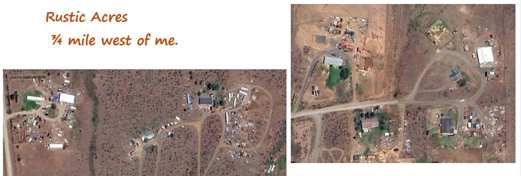
I was checking the County’s ownership (Plat map) for neighbors and discovered that my place is now relatively clean. The places in the photo below are west of me, but 2.5 miles by road. Between me and them, there are lots of trees to break the wind. West of Rustic Acres there is not a healthy full-sized tree for 10 miles.
The last time I was over there was about 25 years ago. It’s time for a drive-by.
 The local grocery stores have discounted the Christmas stuff and replaced candy and merchandise with Valentine’s Day things. At Freddy’s I bought two 18″ high white Christmas Bears for $2.49 each, discounted from, $24.98. A check of the web shows such things for $20 to $30.
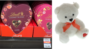
At the grocery store the heart-shaped boxes of Lindt chocolates were on sale (-$2.50) for $19.99. The box on the right claims 12 “assorted pieces”. That’s $1.67 each. The darker box claims a weight of 6.7 ounces. That’s $2.98 per ounce or $47.74 per pound. Then, of course, you get the fancy heart-shaped box. Wow! I buy “Fun-Size” Snickers via Amazon for $7.68 per pound.
On Thursday Phyllis and Cameron came with lunch and to pick up metal roofing pieces. They drove through some fog, but here it was bright and sunny. Most of the week, including today (Saturday) has been thick fog. I can see about 100 yards at the moment. Friday I went to town and stopped 4 miles south of me to take the photo below.
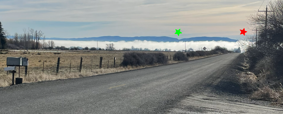
The red star is over where the Yakima River turns south near the western edge of Ellensburg. The green star is where Interstate #82 goes over Manastash Ridge, a 50 mile long ridge of the Yakima Fold Belt. [The web has photos and maps.] That nick in the ridge is 15 miles south of where I live. It is a failed stream channel, left dry when the folding caused a rise faster than the (then) stream could erode a channel.
We are looking south, so east is on the left and the land rises in that direction, trapping the air in the long-narrow valley. This, then, is a fog trapping setup. We did not realize we were buying a place that is normally above the fog. I’ve never checked, but we are out of the fog about 90% of the time it forms. This month has brought the other 10%.
Sun is expected to return on Tuesday. That’s nice. I plan on going to bottle White Heron Syrah on Wednesday.
Keeping Track
on the Naneum Fan
John